LiDAR Mapping and Surveying
Bare-earth terrain models, contours, and planimetrics from survey-grade LiDAR: the ground truth under the trees, ready for design.
Bare earth $25/acre Planimetric (CAD) $50/acreLiDAR mapping, photogrammetry, digital twins, and utility inspections from a veteran-owned flight services team with thousands of combined flight hours and deep roots in professional aviation.
Every engagement delivers data your engineers, planners, and crews can measure, share, and build on: CAD, DTM, contours, and orthomosaics.
Bare-earth terrain models, contours, and planimetrics from survey-grade LiDAR: the ground truth under the trees, ready for design.
Bare earth $25/acre Planimetric (CAD) $50/acreHigh-resolution RGB orthomosaics and site imagery your whole team can open, measure, and share the same day.
RGB orthomosaic $5/acreFaithful 3D models of assets and sites for planning, inspection, training, and the permanent record.
Scoped per assetLines, substations, and poles inspected by thermal, visual, and multispectral sensors. Crew plus aircraft, documented and defensible.
Custom day rateCorridor flights that find the growth threatening your lines and access, before it finds them for you.
$32/linear miRepeatable site documentation that shows progress, quantities, and change over time, flight after flight.
$5/acreStockpile, pit, and earthwork volumes your team can trust, without anyone climbing a pile.
From $5/acre ortho $25/acre LiDARSend us the site and the decision the data has to support. We will spec the right aircraft and sensor for the question, not the other way around.
Weekly and monthly rates are available, and project and deployment fees are based on scope. Every engagement starts with a written quote.
| Data Processing | Rate |
|---|---|
| LiDAR, bare earth | $25 / acre |
| LiDAR, planimetric (CAD) | $50 / acre |
| RGB orthomosaic | $5 / acre |
| Single-sensor dataset | $32 / linear mi |
| Multi-sensor dataset | $50 / linear mi |
| Volumetrics | From $5 / acre ortho, $25 / acre LiDAR |
Volumetrics are quoted per site.
| Crew and Equipment | Day Rate |
|---|---|
| Principal | $1,600 |
| Staff Engineer / Ground Tech | $1,150 |
| GIS | $550 |
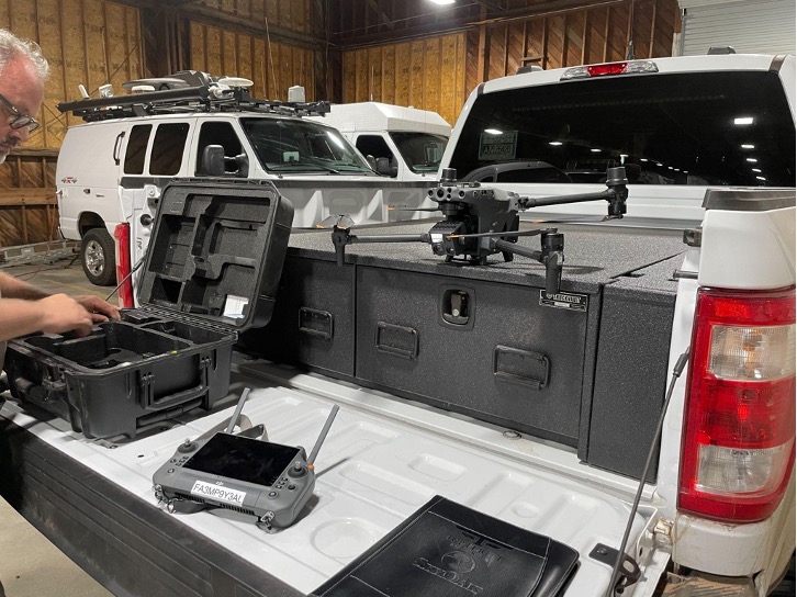
| Multicopter (2 hr, 12 lb payload) | $600 |
| Heavy-lift LiDAR (NDAA compliant) | $1,000 |
Utility inspection crews fly at a custom day rate based on scope and sensor package.
Send the site, the asset, or the corridor. We define deliverables, airspace, and timeline with you.
You receive a written, scoped quote at the published rates. Nothing flies until you approve it.
Our crews fly the mission and process the data to survey grade, checked by people who sign their work.
CAD, DTM, contours, and orthomosaics: measurable, shareable files your team can use on day one.
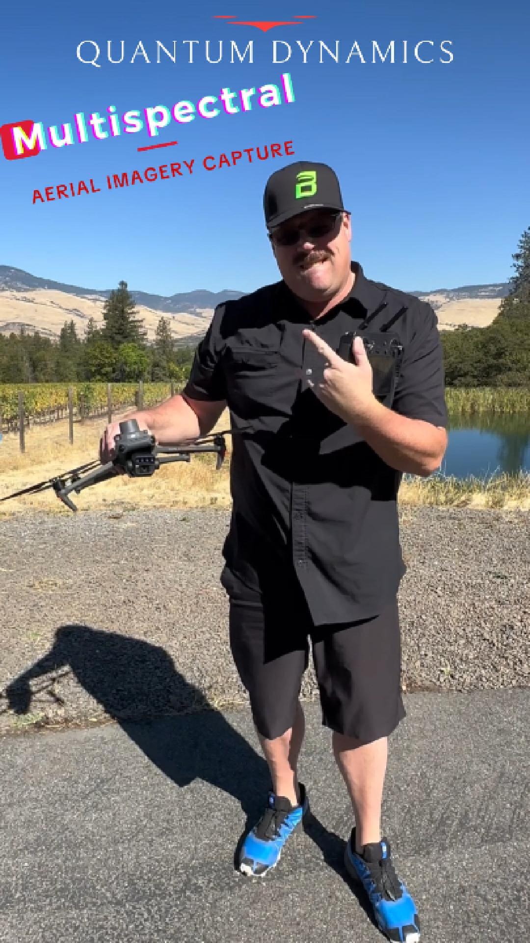
Our multispectral aerial capture over Oregon vineyard country, filmed October 2024: crop health, vigor mapping, and stress detection from the air, flown by the same crew that teaches the academy. Two minutes, real aircraft, real rows.
I passed the test with a 97% and no doubt their instruction was a huge reason for my success.
Everyone passed the test without any trouble. I highly recommend the Quantum Dynamics team.
 Dominic: Part 107 VictoryWatch on YouTube
 Utility Investigator Takes FlightPart 107 success story, watch on YouTube
 Scored 93% on the Part 107 TestWatch on YouTube
 Shawn Fleming, Coos Bay OR: 90% on the First TryWatch on YouTube
 Cody, Electrical Lineman: 93% in 2 DaysWatch on YouTube
 Micah, GIS Specialist: Scored 95%Watch on YouTube
 Clint: Passed in Just 2 DaysWatch on YouTube
Tell us what you need measured, inspected, or documented. Quotes come from fly@quantumdynamics.co, scoped and in writing. Training a crew instead? The academy is free to join.